Anne and I had travelled north to see our eldest son Greg and his wife Jen, at their home in Oswaldtwistle and had intended to walk part of the Leeds to Liverpool Canal – the bit between Blackburn and Chorley – on the Saturday. However, during the Friday night the rains came and continued throughout the Saturday morning and into the afternoon. Not a pleasant day for a walk so we decided to have a less exhausting day and, as Sunday promised to be better, we decided a visit to Pendle Hill in the morning would be adequate compensation.
Jen was driving and after taking us through Accrington and along various roads and country lanes we arrived at the village of Barley at about 11 a.m. for the start of the walk. So it was boots on and Anne, Greg and I were ready to take on Pendle Hill, which as many may know was supposed to be the haunt of witches back in the early 1600s. If you want to find out more about this then click here.
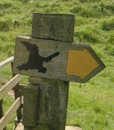
Directions on this walk were very straight forward; we just followed the footpath signs, with a silhouette of a witch on them, and headed for the big, plateau like, hill in front of us. Click icon to view map of route.
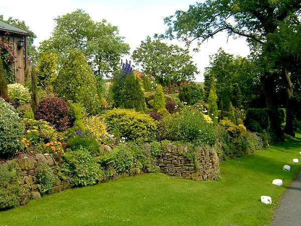
Initially the route took us out of the village, alongside a small stream before we met up with a country lane. A few minutes along the lane and our route went through a beautiful garden. See picture. I think a big thank you must go to the owners of the property who must be very understanding about the need for countryside access, as well as having a superb garden.
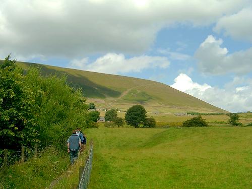
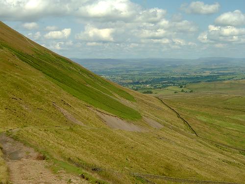
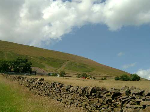
Soon after, our route started to become steeper and we were rewarded with better views of Pendle Hill and our path to the top - a diagonal path from the left going up to the right. There was an alternative path from the right to the left but, although this looked to be less steep, we were informed by Greg, who had done the hill before, that this would take longer. However, it did look a pleasant route for leaving the hilltop.
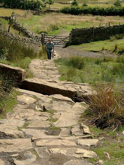
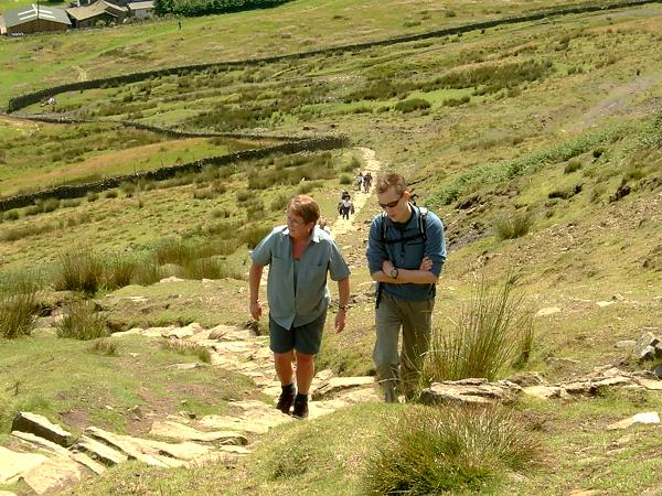
Having negotiated a few stiles and gates we reached the base of the hill proper. Our path now was via a series of rock steps, which initially seemed to go on forever. This uphill grind certainly had an impact on Anne who was feeling very hot – the day had become very warm – and she was concerned that she would slow Greg and me down. She also contemplated waiting at the bottom for our return, but having zipped off her trousers legs she continued. You can’t beat getting some air to your legs when the weather gets hot.
Greg, who previously had got from the car park to the top of the hill in 40 minutes was having no problem and on a couple of occasions decided to run uphill for a 100 or so yards and then wait for us to catch up. Oh to be young and fit.
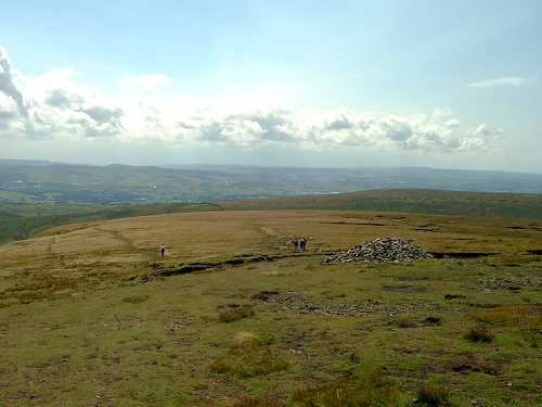
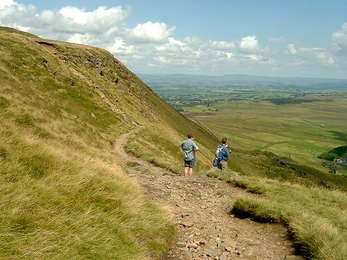
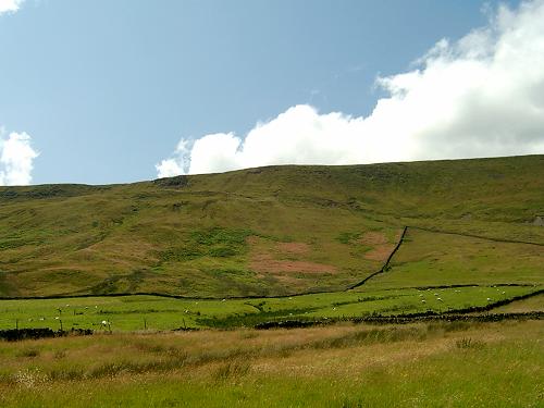
About two thirds up, the path became less steep and the steps ended. The path was now much easier and shortly after, about an hour since leaving the car park, we reached the top.
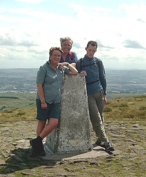
It was now a short walk across the springy top of the hill, this bit is probably better described as a plateau, to the trig point, which is 557 metres above sea level.
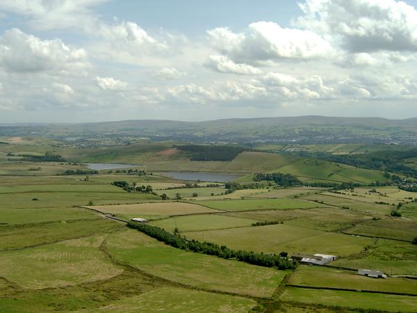
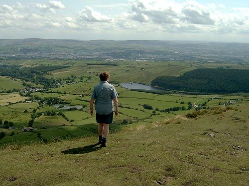
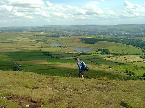
As the day was very clear we had some very good views and, although we did not see it, I understand that on some days it is possible to see Blackpool Tower in the distance.
On the descent Anne and Greg found bilberries to eat and while they stopped to collect them I enjoyed the views. Can’t think of much more to say. It was all very pleasant.
The whole walk took a little over 2 hours. The map of this area is Ordnance Survey Outdoor Leisure map no. 21 (South Pennines) but, once you’ve got to Barley, the route, certainly the one we used, is straight forward and very well signposted.
If you want to find out more about witches in this area then click here.