Cancer Research UK Walk - 22nd May 2010
Lapworth figure of eight – approximately 12.2 miles.
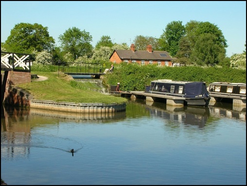
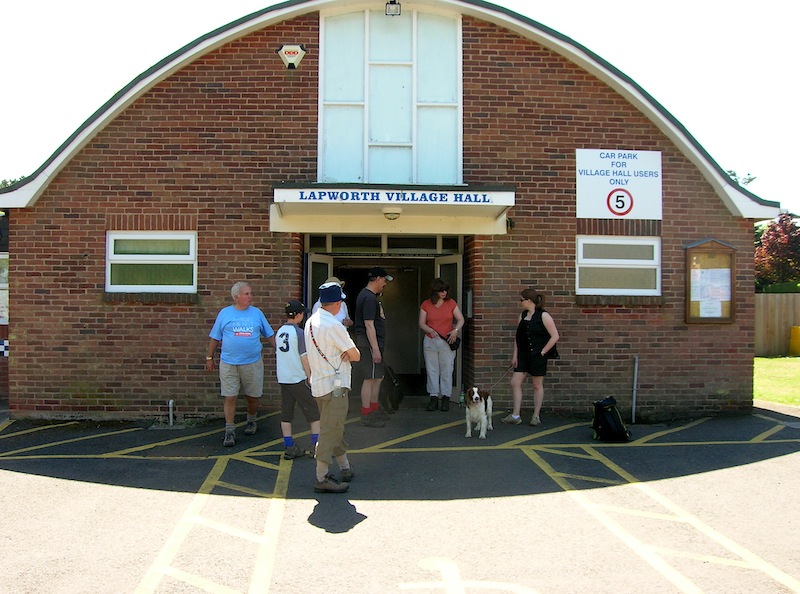
For the third year the Mid-Warwickshire Cancer Research Walk started and finish from the Lapworth Village Hall, located on the B4439 (Warwick to Hockley Heath Road), close to the junction of the Stratford on Avon Canal and Grand Union Canal at Kingswood Junction.
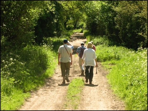
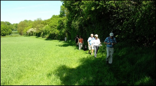
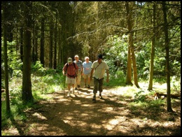
Since these walks started we have been fortunate to generally have good weather. This year was no exception with the temperature already in the mid 20's when this year's band of walkers left the Village Hall for the morning hike. The route details (in black) are below interspersed with pictures and comments.
To go straight to the afternoon walk click here
Visiting Packwood House and Baddesley Clinton
To see a copy of the morning route that can be easily printed click here
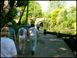
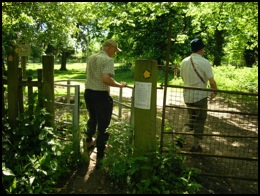
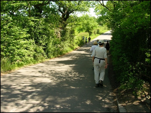
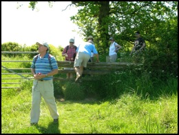
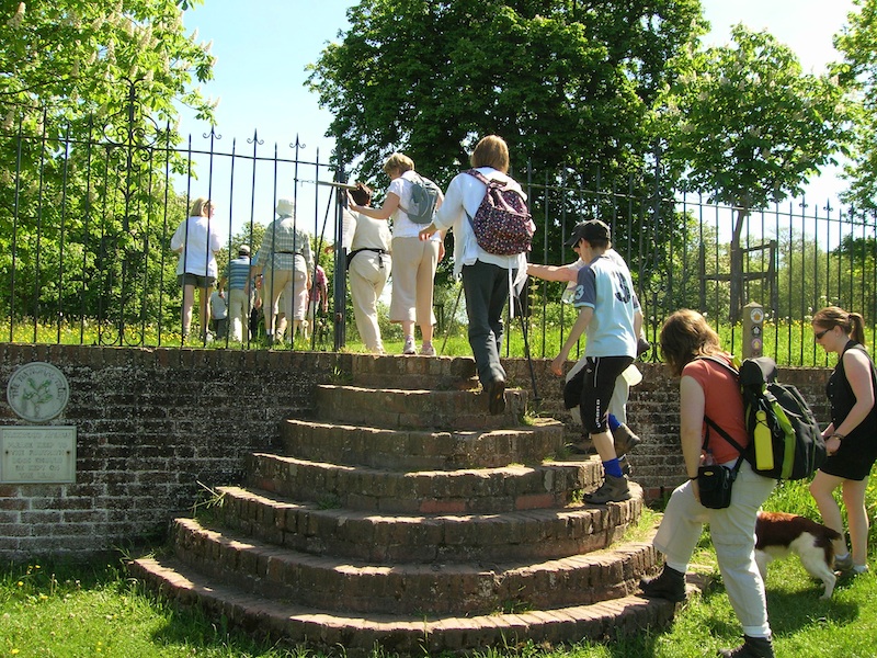
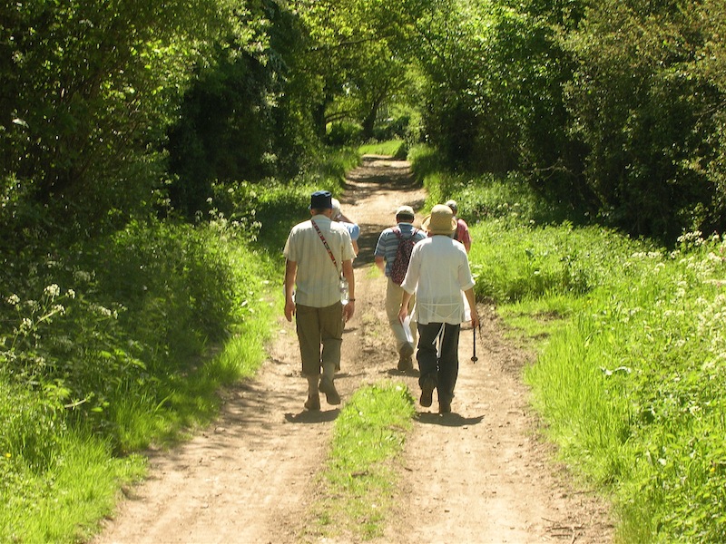
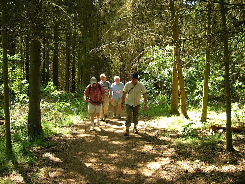
1. Leave Lapworth Village Hall, cross road and turn right to Stratford on Avon Canal. At Canal turn left and follow tow path as it climbs the Kinsgswood flight of locks. After approximately 2 miles, when the draw bridge over the canal is reached at Drawbridge Farm, turn right to the road.
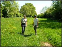
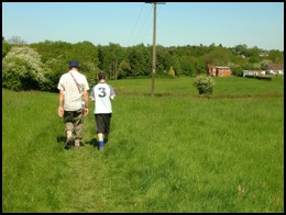
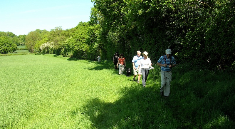
2. Turn left at road and in about a 100 metres a footpath sign will be seen on the right at the entrance to a field. Enter field and follow path into second field. Continue in roughly the same direction with hedgerow on right and pass a small pond on right before reaching lane outside of gates to Malt House Farm. Turn right away from farm and follow lane to T junction.
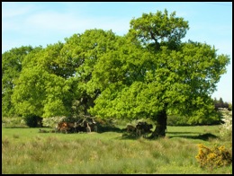
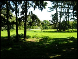
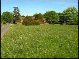
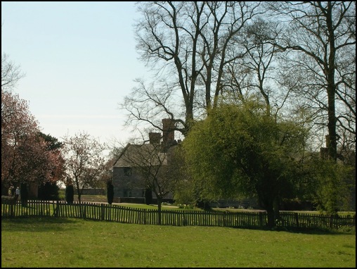
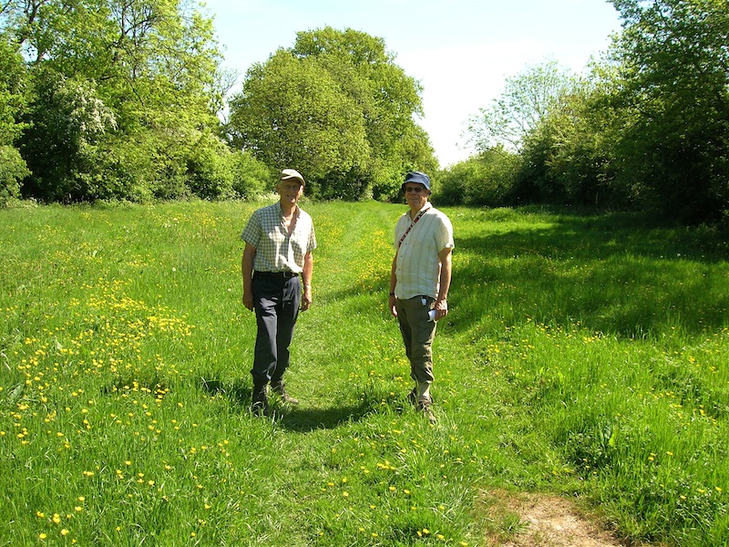
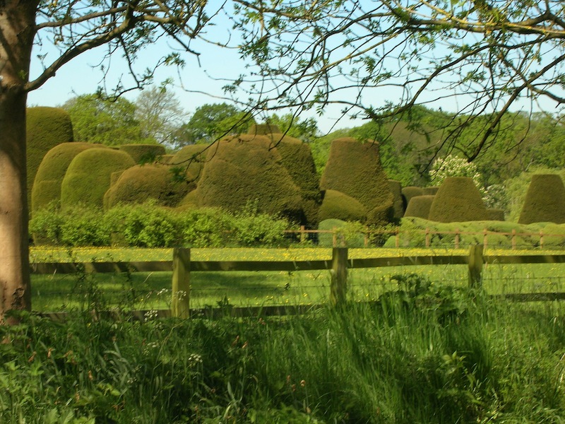
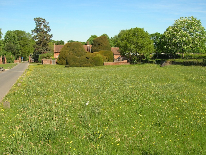
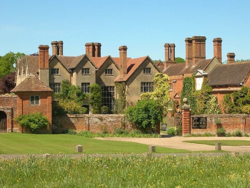
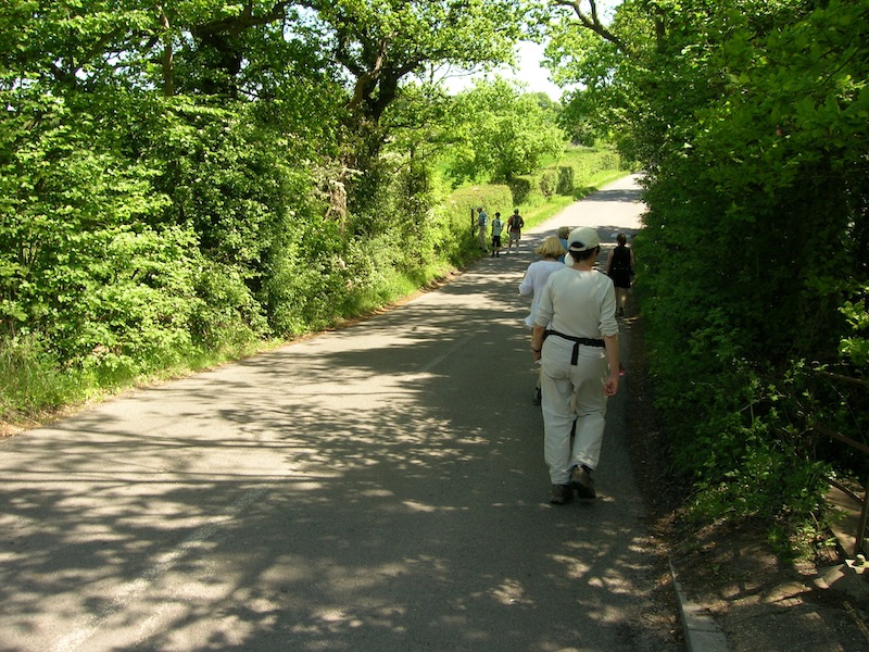
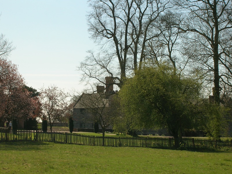
3. At T junction go straight ahead and take footpath through pastureland. (Note the lake at the rear of Packwood House on the left). Continue to follow path which leaves the pastureland and passes cottage on right and pond on left before emerging on the road to the south of Packwood House. Turn left and follow the road to Packwood House.
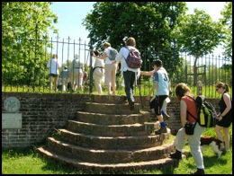
4. Opposite the entrance to Packwood House take footpath on right (up steps and through gate) and follow right of way, initially through parkland and then along an avenue of trees before road is reached.
5. At road go right and within about 150 metres turn left off road onto a footpath and follow along the edge of a field (hedge on right). When a drive/track is reached turn right and take footpath immediately on left and follow clockwise round large property on right. When drive is reached turn left and follow to main road.
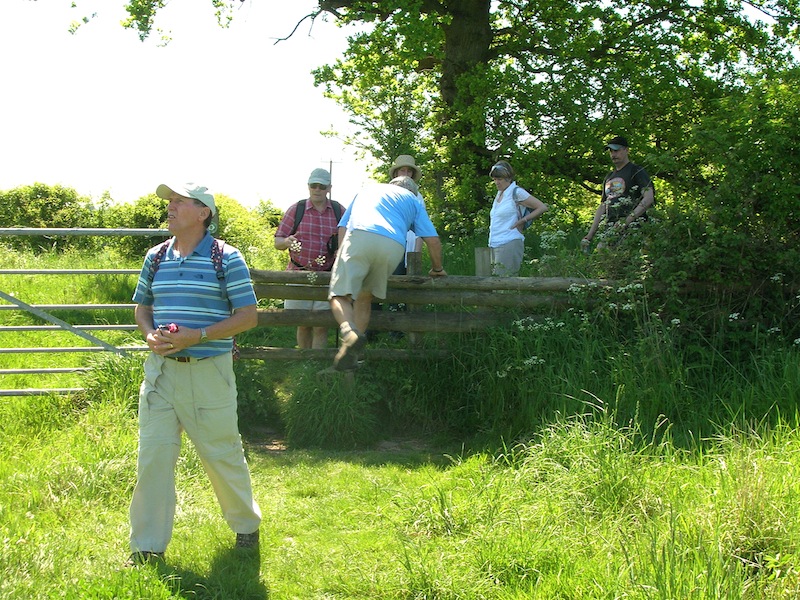
6. Turn left along road which goes over railway bridge, pass Station Road on right, continue over canal bridge and within a few metres go through kissing gate on left. Go half right across field to another kissing gate and continue on path through a third kissing gate. Go straight ahead and follow field track (hedge on left). At end of field turn right along lane and follow to road. Cross road and go along drive towards Baddesley Clinton National Trust Property. (Permissive route when Property is open)
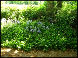
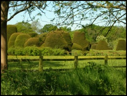
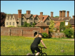
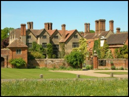
7. Drive bends right and then left and soon after goes through gate. Within a few metres go through kissing gate on right (public footpath) and follow track. Note views on left of Baddesley Clinton House and Gardens.
8. On reaching boundary to house and gardens continue to follow path with fence/hedge on left.
9. Having passed through 2 kissing gates follow path to left of brick building (stables). Leave field and follow drive which emerges on the road between Warwick and Lapworth. Turn right and follow road, passing under railway bridge and over canal bridge to Lapworth Village Hall.
The morning walk took the group 2 hours and 45 minutes which was a little longer than anticipated. The hot weather had certainly impacted on our speed, but now we were rewarded with food and drink before the afternoon trek commenced.
-o-O-o-
Visiting Bushwood, Lowsonford, and the
Stratford on Avon Canal.
To see a copy of the afternoon route that can be easily printed click here
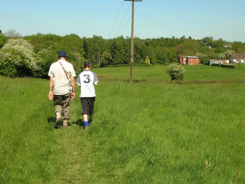
1. Leave Lapworth Village Hall and follow the road right and soon after turn right to Brome Hall Lane. Follow the lane which passes by a farm and soon after becomes a track.
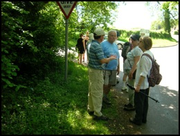
2. Ignore track to left, which goes to canal, and continue south passing under motorway. Soon after, as track bears left, take footpath on right – marked by Finger Post as Unclassified County Road - which is followed to a road.
3. At road turn left and follow road until junction is reached. At junction take road on right (Signposted to Henley)
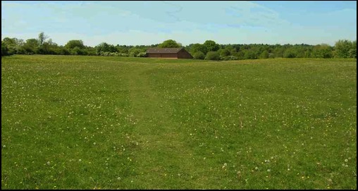
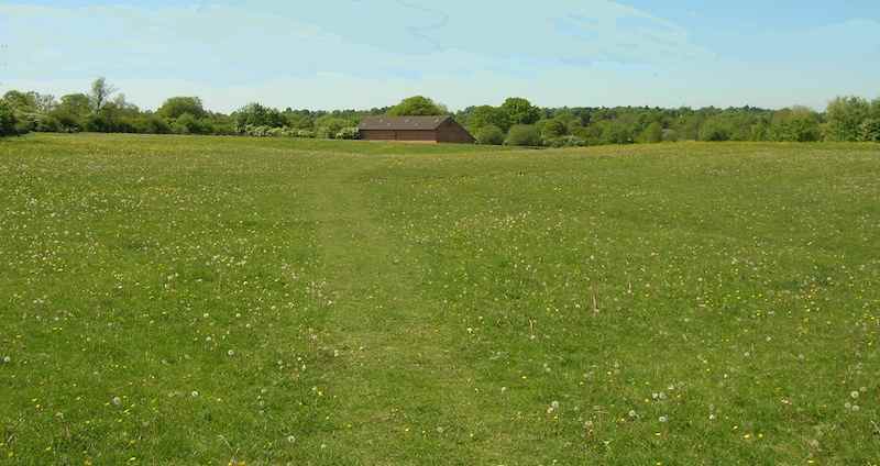
4. Continue along road, ignore track on left to The Field House, and go downhill under power lines. Road bends to right and on the bend take signed footpath on left which is followed along field track to right of woodland (Bush Wood).
5. Path continues under power lines to stile. Cross over stile and continue along field path with woodland still on left. In about 100 metres track comes in from right. Continue ahead along track passing large shed on left.
6. Track goes through gate and continues uphill towards farm (Coppice Corner Farm). Just before top of rise go right to yellow footpath sign to right of farm. Continue in direction indicated by sign and go through black gate onto farm road which is followed to the right.
7. After the last farm cottage/bungalow is passed take signed track on left (Heart of England Way), which goes uphill before descending and bearing left to gate.
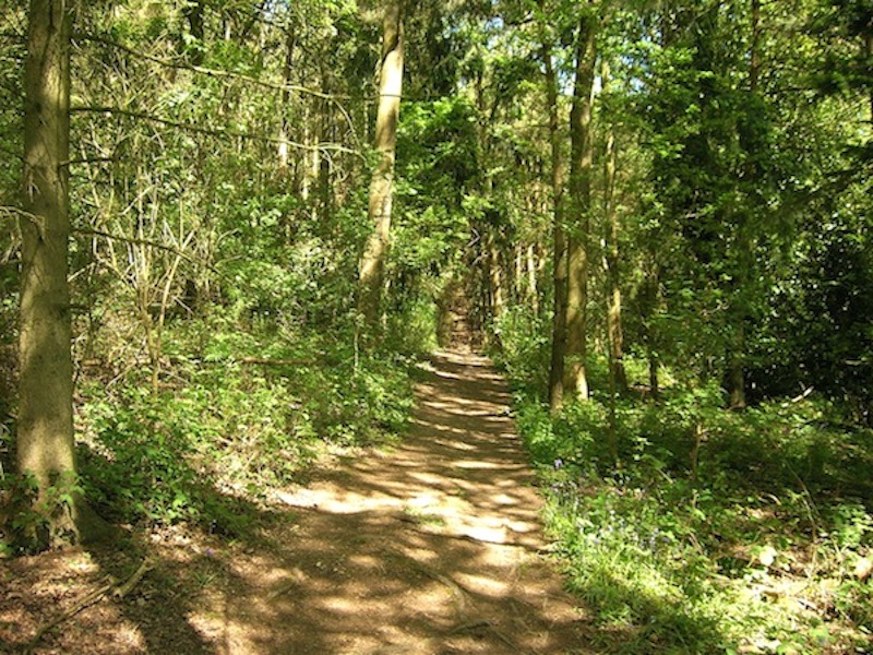
8. Go through gate and take path on right (Heart of England Way) and soon after follow path through woodland. Leave woodland and follow path to a pair of kissing gates.
9. Follow Heart of England Way through the kissing gates and soon after, having walked over old railway bridge, take path left over two fields to lane. Follow lane left which goes downhill to Lowsonford.
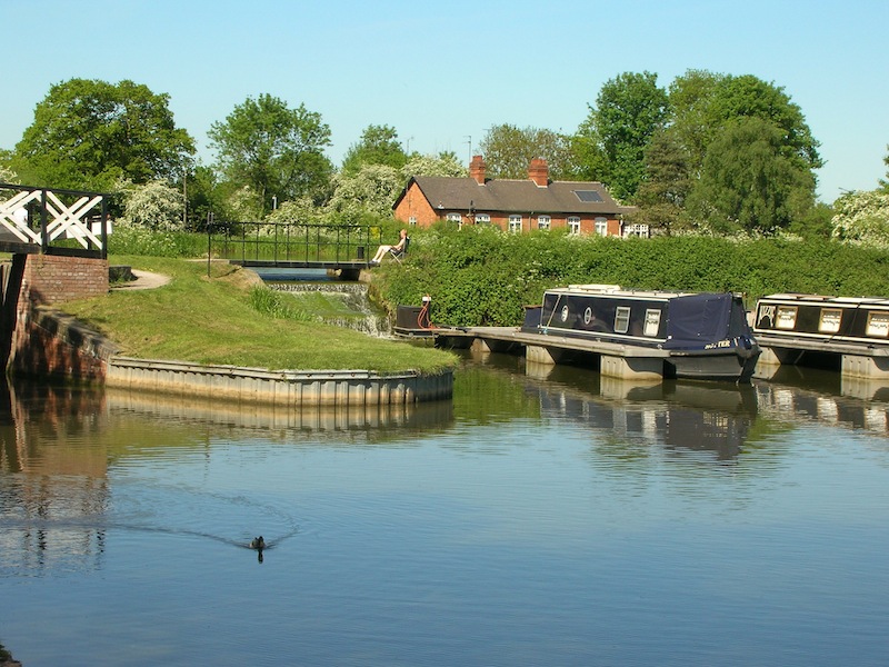
10. At Lowsonford (crossroads) go straight ahead and soon after cross bridge over Stratford on Avon Canal and go down to tow path. Turn right (canal on left) and follow canal (northwards) back to Kingswood Junction passing under Motorway en-route.
11. At Kingswood Junction go through car parking area on left before retracing steps back to Lapworth Village Hall.
Since these walks started we have been fortunate to generally have good weather. This year was no exception with the temperature already in the mid 20's when this year's band of walkers left the Village Hall for the morning hike. The route details (in black) are below interspersed with pictures and comments.
To go straight to the afternoon walk click here
Visiting Packwood House and Baddesley Clinton
1. Leave Lapworth Village Hall, cross road and turn right to Stratford on Avon Canal. At Canal turn left and follow tow path as it climbs the Kinsgswood flight of locks. After approximately 2 miles, when the draw bridge over the canal is reached at Drawbridge Farm, turn right to the road.


2. Turn left at road and in about a 100 metres a footpath sign will be seen on the right at the entrance to a field. Enter field and follow path into second field. Continue in roughly the same direction with hedgerow on right and pass a small pond on right before reaching lane outside of gates to Malt House Farm. Turn right away from farm and follow lane to T junction.
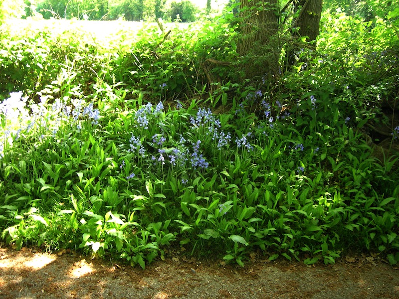
3. At T junction go straight ahead and take footpath through pastureland. (Note the lake at the rear of Packwood House on the left). Continue to follow path which leaves the pastureland and passes cottage on right and pond on left before emerging on the road to the south of Packwood House. Turn left and follow the road to Packwood House.


4. Opposite the entrance to Packwood House take footpath on right (up steps and through gate) and follow right of way, initially through parkland and then along an avenue of trees before road is reached.

5. At road go right and within about 150 metres turn left off road onto a footpath and follow along the edge of a field (hedge on right). When a drive/track is reached turn right and take footpath immediately on left and follow clockwise round large property on right. When drive is reached turn left and follow to main road.
6. Turn left along road which goes over railway bridge, pass Station Road on right, continue over canal bridge and within a few metres go through kissing gate on left. Go half right across field to another kissing gate and continue on path through a third kissing gate. Go straight ahead and follow field track (hedge on left). At end of field turn right along lane and follow to road. Cross road and go along drive towards Baddesley Clinton National Trust Property. (Permissive route when Property is open)
7. Drive bends right and then left and soon after goes through gate. Within a few metres go through kissing gate on right (public footpath) and follow track. Note views on left of Baddesley Clinton House and Gardens.
8. On reaching boundary to house and gardens continue to follow path with fence/hedge on left.
9. Having passed through 2 kissing gates follow path to left of brick building (stables). Leave field and follow drive which emerges on the road between Warwick and Lapworth. Turn right and follow road, passing under railway bridge and over canal bridge to Lapworth Village Hall.
The morning walk took the group 2 hours and 45 minutes which was a little longer than anticipated. The hot weather had certainly impacted on our speed, but now we were rewarded with food and drink before the afternoon trek commenced.
Visiting Bushwood, Lowsonford, and the
Stratford on Avon Canal.
1. Leave Lapworth Village Hall and follow the road right and soon after turn right to Brome Hall Lane. Follow the lane which passes by a farm and soon after becomes a track.
2. Ignore track to left, which goes to canal, and continue south passing under motorway. Soon after, as track bears left, take footpath on right – marked by Finger Post as Unclassified County Road - which is followed to a road.
3. At road turn left and follow road until junction is reached. At junction take road on right (Signposted to Henley)
4. Continue along road, ignore track on left to The Field House, and go downhill under power lines. Road bends to right and on the bend take signed footpath on left which is followed along field track to right of woodland (Bush Wood).
5. Path continues under power lines to stile. Cross over stile and continue along field path with woodland still on left. In about 100 metres track comes in from right. Continue ahead along track passing large shed on left.
6. Track goes through gate and continues uphill towards farm (Coppice Corner Farm). Just before top of rise go right to yellow footpath sign to right of farm. Continue in direction indicated by sign and go through black gate onto farm road which is followed to the right.
7. After the last farm cottage/bungalow is passed take signed track on left (Heart of England Way), which goes uphill before descending and bearing left to gate.
8. Go through gate and take path on right (Heart of England Way) and soon after follow path through woodland. Leave woodland and follow path to a pair of kissing gates.
9. Follow Heart of England Way through the kissing gates and soon after, having walked over old railway bridge, take path left over two fields to lane. Follow lane left which goes downhill to Lowsonford.
10. At Lowsonford (crossroads) go straight ahead and soon after cross bridge over Stratford on Avon Canal and go down to tow path. Turn right (canal on left) and follow canal (northwards) back to Kingswood Junction passing under Motorway en-route.
11. At Kingswood Junction go through car parking area on left before retracing steps back to Lapworth Village Hall.
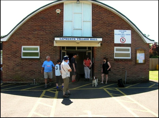
The afternoon route took just over 2 hours to complete so we arrived back at Lapworth Village Hall just in time for afternoon tea and cakes which was provide by Jeff's wife, Lin, ably assisted by friend Joan. As in previous years it was enjoyed by all and many thought that the fruit cake alone was worth walking the 12 plus miles for. It was delicious. Thank's ladies.
Cancer Research Walks Main Page.
Top of Page